The India Meteorological Department (IMD) has issued a Flood Alert 2025 for multiple districts across Eastern India, raising significant concern over the growing impact of monsoon activity this year. With the monsoon intensifying earlier than expected and rainfall patterns becoming increasingly erratic, the IMD has mapped several monsoon warning zones and identified areas at heightened flood risk.
Below is a comprehensive overview of the regions affected, the underlying causes, and critical measures underway to manage the escalating threat.
Understanding the Flood Alert 2025: What’s Different This Year?
Unlike previous years, Flood Alert 2025 Eastern India is being treated as a red-flag warning due to the convergence of several factors:
-
Intensified monsoon currents originating from the Bay of Bengal
-
High soil saturation levels due to pre-monsoon showers in May and June
-
Inadequate drainage systems in many low-lying districts
-
Glacial meltwater contributions to rivers like the Ganga and Brahmaputra
This year’s monsoon is marked by a faster onset and denser rain clouds, leading to a spike in daily rainfall averages. As a result, the IMD has expanded its monsoon warning zones to include districts that previously saw only moderate flooding.
High-Risk Districts Identified in Eastern India
The IMD has highlighted specific districts in the states of West Bengal, Bihar, Odisha, Jharkhand, and parts of Assam as particularly vulnerable. These areas are likely to face riverine flooding, urban waterlogging, and landslides in the case of hilly terrain.
1. West Bengal
-
Murshidabad, Malda, Nadia, North & South 24 Parganas
-
Major rivers like the Ganges and Ichamati pose flooding risks.
-
Kolkata and adjoining areas may experience severe urban flooding.
2. Bihar
-
Darbhanga, Sitamarhi, Supaul, Bhagalpur, and Patna
-
The Kosi and Gandak rivers are flowing near danger levels.
-
Historical data shows that these regions are flood-prone, with repeated incidents in recent decades.
3. Odisha
-
Puri, Kendrapara, Bhadrak, and Balasore
-
These coastal districts are under dual threat: storm surges and heavy rain accumulation.
-
Low-lying terrain worsens the situation, especially in areas close to river deltas.
4. Jharkhand
-
Dumka, Sahebganj, and Godda
-
Known for hilly topography and poor drainage, which can trigger flash floods.
-
Tributaries of the Ganges and local reservoirs are closely monitored.
5. Assam (Easternmost areas bordering West Bengal)
-
Dhubri, Goalpara, and Kokrajhar
-
Already experiencing above-normal rainfall this season.
-
Brahmaputra’s rising levels create a spillover risk.
IMD’s Warning Mechanism and Forecast Tools
The IMD uses a blend of satellite data, Doppler radar systems, and real-time hydrological data to issue flood alerts. In 2025, the department has upgraded its predictive models to improve the lead time of warnings, giving state authorities a better window for evacuation and resource mobilization.
New AI-enabled tools are being deployed to monitor:
-
Rainfall intensity and duration
-
River flow patterns
-
Soil absorption and runoff rates
-
Cloudburst likelihood in hilly terrain
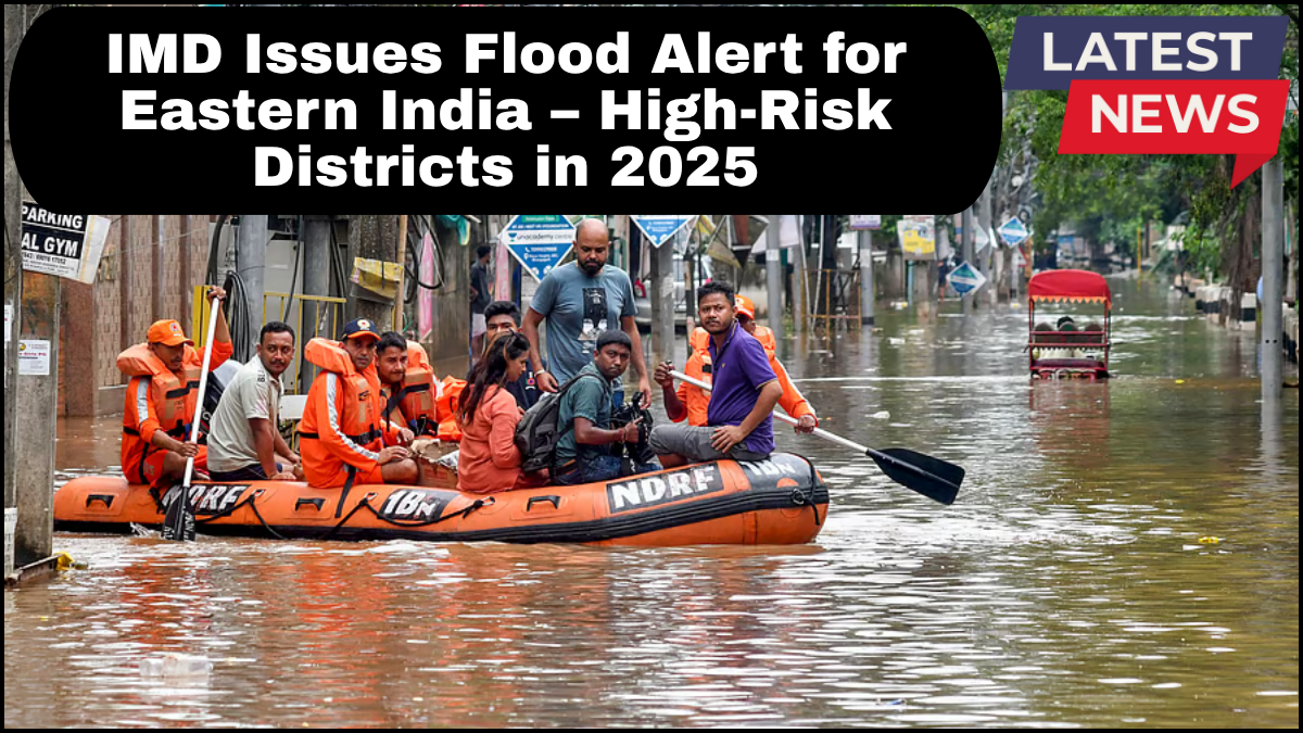
Government Response and Preparedness
In response to the Flood Alert 2025 Eastern India, the National Disaster Response Force (NDRF) and local disaster management teams have been placed on high alert. Flood shelters are being set up in sensitive districts, while state governments have issued advisories to:
-
Avoid non-essential travel in flood-prone zones
-
Stay updated via official weather apps and bulletins
-
Report blocked drains or overflow points to local authorities
Odisha and Bihar have initiated drone-based surveillance to detect early breaches in embankments and monitor isolated villages.
Community Involvement and What You Can Do
Public cooperation remains critical. Citizens are urged to:
-
Prepare emergency kits with essentials like drinking water, medicine, torches, and dry food
-
Move to higher ground if advised
-
Keep mobile phones charged and communication lines open
Awareness campaigns are underway in schools and community centers to educate residents on evacuation protocols and safe practices during flash floods.
FAQs
Q1: What does a Flood Alert 2025 mean for residents of Eastern India?
A flood alert signals a high probability of flooding due to forecasted weather patterns. Residents should follow official instructions and prepare for possible evacuations.
Q2: Which rivers are contributing most to the flood risk?
The Ganges, Brahmaputra, Kosi, Gandak, and Subarnarekha rivers are currently at or near warning levels.
Q3: How accurate are IMD’s predictions this year?
Thanks to updated satellite systems and AI-driven models, IMD’s forecasts for 2025 have shown improved accuracy and quicker lead times compared to previous years.
Q4: What are monsoon warning zones?
These are specific regions marked by the IMD as high-risk for extreme rainfall, flash floods, or landslides during the monsoon period.
Q5: Where can I get real-time updates on the flood situation?
Check the IMD website, mobile apps like ‘Mausam,’ or state disaster management portals for the latest alerts.
click here to learn more