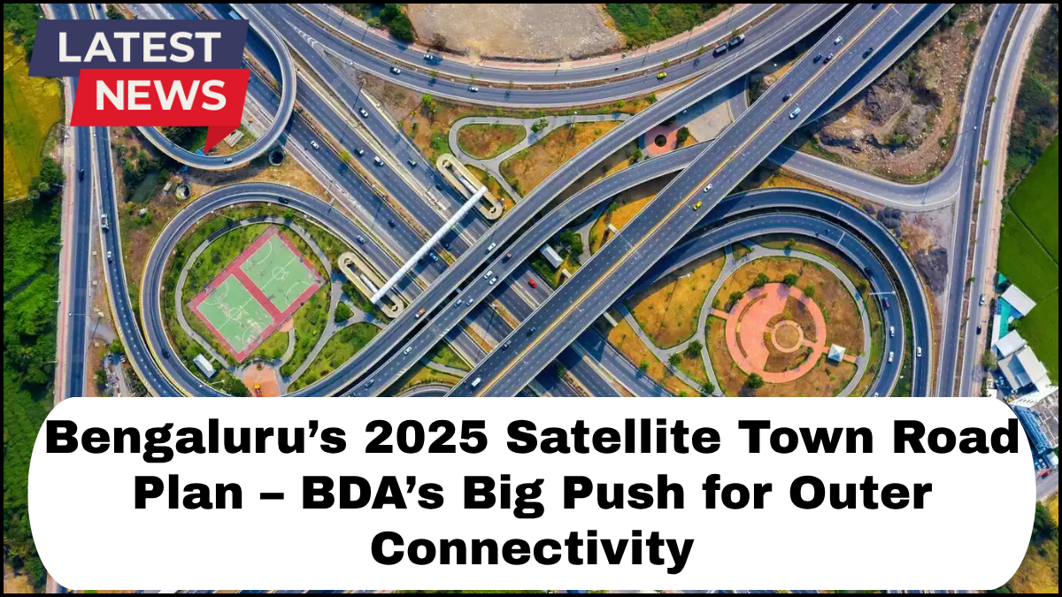
As Bengaluru continues to grow into a major global tech hub, the city faces escalating challenges around traffic congestion, unplanned urban sprawl, and inadequate infrastructure on its outskirts. In a decisive move to address these issues, the Bangalore Development Authority (BDA) has rolled out the Bengaluru Satellite Town Roads Plan, a forward-looking infrastructure initiative set to reshape the city’s connectivity landscape by 2025.
What is the Bengaluru Satellite Town Roads Plan?
The Bengaluru Satellite Town Roads Plan is a strategic infrastructure blueprint aimed at improving connectivity between Bengaluru and its satellite towns such as Ramanagara, Tumakuru, Hosur, Doddaballapura, and Kanakapura. These towns, while located on the fringes of the city, are increasingly becoming critical to Bengaluru’s economic and residential ecosystem.
The project, spearheaded by the BDA, involves the construction and expansion of a network of arterial roads that will form a robust ring around the city, allowing smoother access to outer regions and reducing dependency on core city routes.
BDA’s Role in the New Road Construction for 2025
Under the BDA new road construction 2025 initiative, the authority has planned an ambitious rollout of over 300 kilometers of new roads. These are not just cosmetic upgrades but heavy-duty roadways designed to handle high-capacity vehicular loads. The idea is to decongest the city center by offering viable alternate routes and reducing travel time between key industrial zones, logistics hubs, and residential sectors.
Key highlights of the BDA’s 2025 plan include:
-
Four-lane and six-lane roads with dedicated service lanes
-
Integration with the Peripheral Ring Road (PRR) and STRR (Satellite Town Ring Road)
-
Smart infrastructure elements such as digital signages, emergency lay-bys, and surveillance cameras
-
Environmental considerations including green buffers, stormwater drainage, and dust mitigation measures
Impact on Satellite Towns and Real Estate Growth
The implementation of the Bengaluru Satellite Town Roads Plan is expected to drastically alter the real estate and economic dynamics of towns surrounding Bengaluru. Improved road access will make these satellite towns more attractive for residential development, industrial investments, and IT park expansions.
For example, Doddaballapura—once considered too far from the city—will be just 30-40 minutes away from Hebbal post the completion of new link roads. Similarly, Tumakuru, which is already part of the Chennai-Bangalore Industrial Corridor, will gain a further boost in logistics and warehousing capabilities.
This shift will also help decentralize Bengaluru’s growth, reducing pressure on city infrastructure while promoting planned urban expansion.
Integration with Larger Infrastructure Projects
The Satellite Town Road Plan is not a stand-alone project. It is being closely integrated with other major infrastructure efforts, including:
-
Peripheral Ring Road (PRR): Providing a seamless loop around the city, diverting non-local traffic away from congested core areas.
-
Bengaluru Suburban Railway Project: Enhancing last-mile connectivity for commuters.
-
Metro Phase 3 and 4 Extensions: Syncing public transport corridors with the new road network for multimodal connectivity.
This holistic approach ensures that road development is aligned with broader transportation and urban planning objectives.
Challenges and the Road Ahead
While the vision is ambitious, the execution comes with its own set of hurdles. Land acquisition delays, environmental clearances, and budgetary constraints have slowed progress in some corridors. However, the BDA has partnered with private contractors and state authorities to fast-track the implementation through phased work packages and transparent tendering processes.
Public engagement and stakeholder consultations are also being conducted to address concerns related to displacement, compensation, and ecological balance.
Frequently Asked Questions (FAQs)
Q1: What is the main goal of the Bengaluru Satellite Town Roads Plan?
A: The primary goal is to enhance connectivity between Bengaluru and its surrounding satellite towns, reduce traffic congestion in the city, and promote balanced urban growth.
Q2: Who is responsible for implementing the road construction under this plan?
A: The Bangalore Development Authority (BDA) is leading the project, in collaboration with other state and regional infrastructure bodies.
Q3: When will the new roads under the BDA’s 2025 plan be completed?
A: While some stretches are already under construction, the major roadways are scheduled to be completed by the end of 2025.
Q4: How will the new road network benefit daily commuters?
A: The new roads will offer faster, alternate routes, reduce dependency on city roads, and ease traffic on major arterial corridors.
Q5: Will the plan include provisions for public transportation?
A: Yes, the road network is being designed to integrate with public transport systems such as suburban rail and future metro lines to support multimodal commuting.
click here to learn more